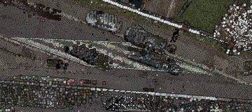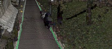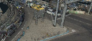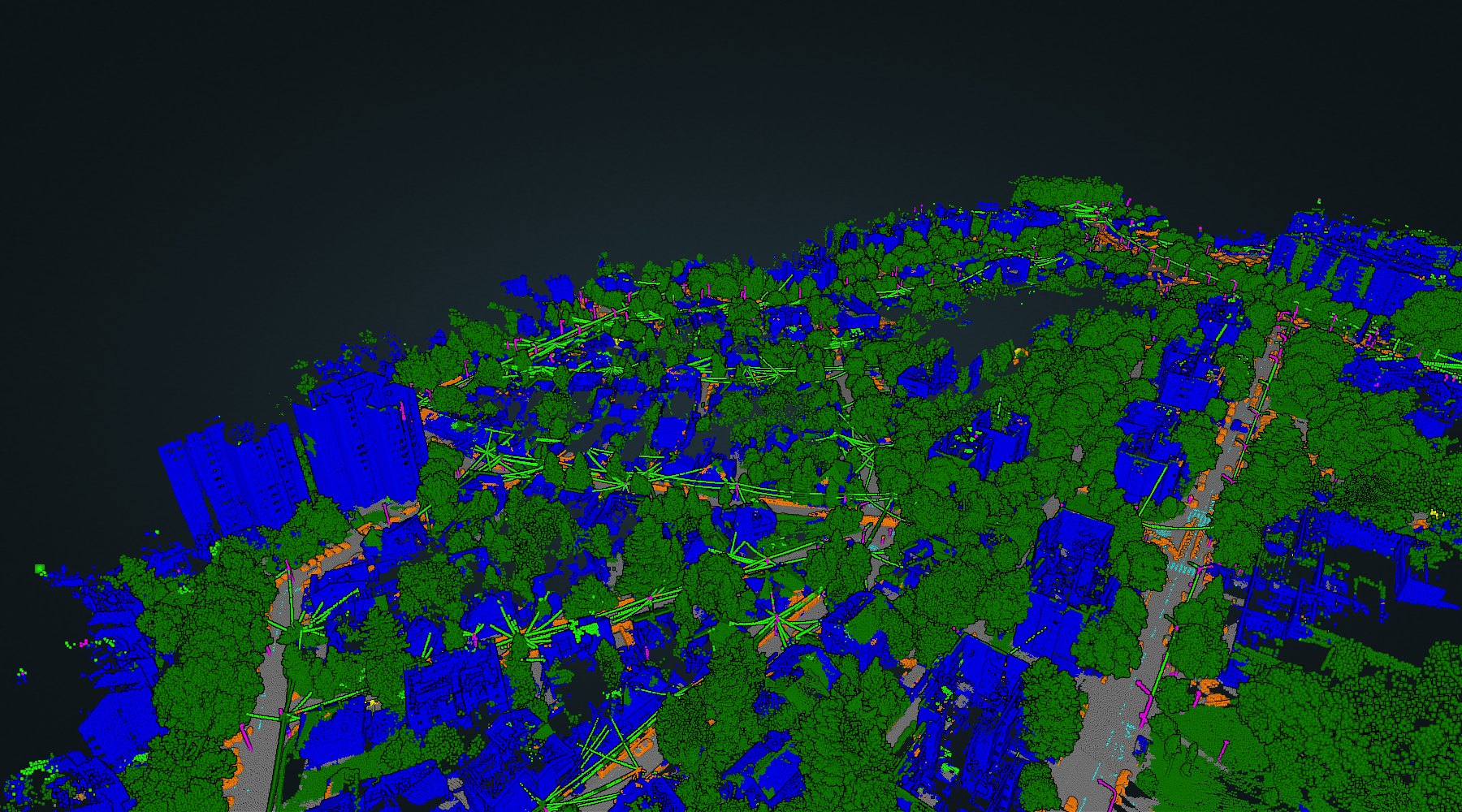
One van, one pass, sixteen kilometres of Belgrade. From the laser and the panoramas the system reads kerbs, road markings, signs and covers — then checks every one of them against the city's own register of 82 surveyed layers.
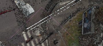
Every kerb candidate the model found on mission 307-1, coloured by how far it is from the nearest line a surveyor measured.
The other direction matters more. Of 16.2 km of surveyed kerb inside the project corridor, 87 % has one of ours within 30 cm. The 13 % that does not is where to look first — and some of the red above is ours to answer for, not the register's.
Each one opens the live scene on this server, not a picture of it. The point cloud is streamed; nothing is pre-rendered.
The camera follows the van's own route and stops at twelve things worth showing. Nothing advances on a timer: one key puts the card away, the same key flies on.
Fourteen slides, the argument end to end. Every figure in it is a door: click one and the scene opens live at that exact camera.
755 million points. The kerb and marking overlays, the sign inventory with the photograph each reading came from, and the classes the model assigned.
A second mission, 13 km, in the same viewer — so the numbers above can be read against something other than themselves.
Every class the model produces is compared with the layer the city already surveys it in. The codes are the register's own.
T05KerbT22–T26Road markings: crossings, arrows, linesT19Signs, and the posts they stand onT66Manhole coversT65GulliesT43Traffic mirrorsT06, T14Pavement edgesT08–T11Islands and medians